
3D Gaussian Splatting captures a real worksite, building or facility as a photoreal 1:1 digital twin — not a rough 3D model, but the real place. Train inside it with VR HMD, or walk through it on the treadmill.
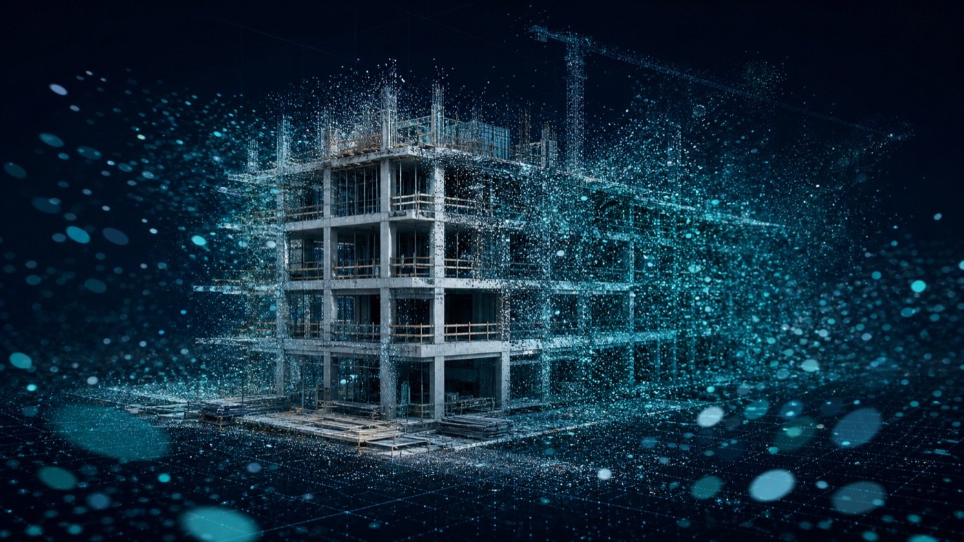
A technician walks a real site once with a handheld LiDAR scanner, capturing point-cloud data via SLAM (simultaneous localisation and mapping). AI cloud compute reconstructs it into a 3D-Gaussian-Splatting digital twin — photoreal, true-to-scale and free to view from any angle. No manual modelling, no loss of detail. The twin drops straight into VR HMD and CAVE for training.
See where it's used →Any real space can become a training environment — captured exactly as it is.
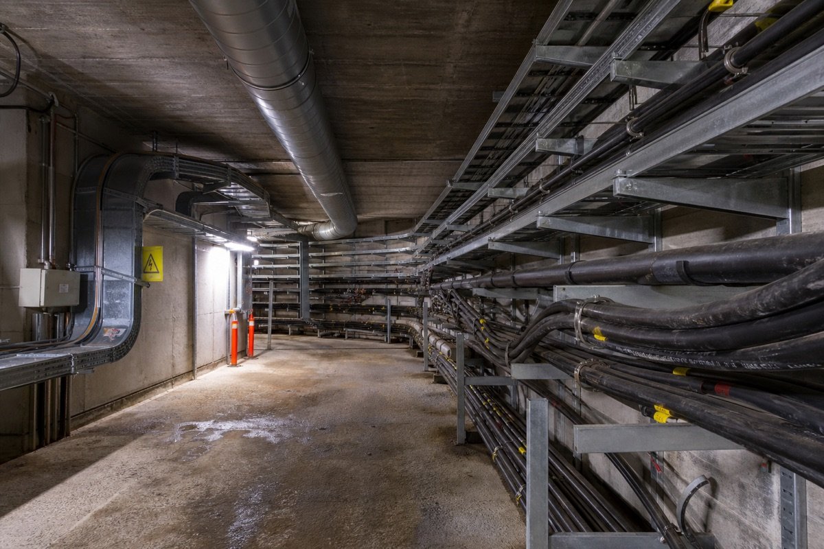
Scan underground pipes, high-voltage rooms or lift shafts and let workers "walk" the space in VR before entering the real one — building spatial awareness and muscle memory. Zero-risk training, zero on-site accidents.

Turn a live worksite into a 1:1 digital twin for site-specific safety walkthroughs — pairs with VTM's CTP modules and BIM models for project-accurate training.
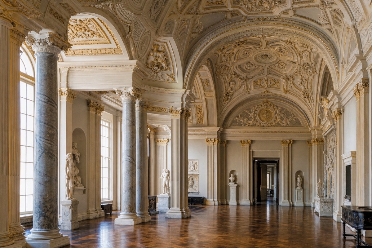
Capture monuments, museums and historic interiors in photoreal detail — for immersive education, documentation and remote exploration beyond what flat photography can show.

In VTM's 3DGS workshop, secondary-school students operate the scanner themselves to turn their campus into an interactive 3D space — hands-on spatial-computing and AI literacy.
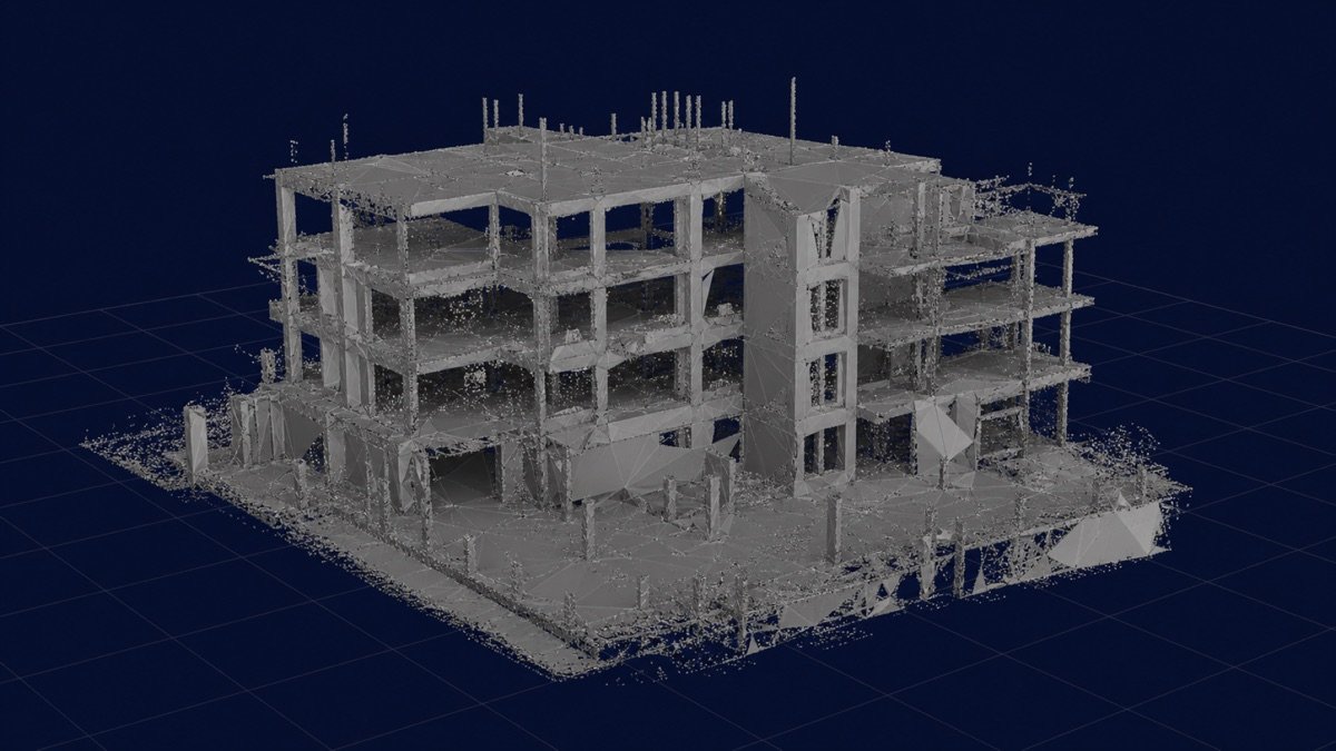
Speed & rendering figures: Kerbl et al., SIGGRAPH 2023.
Walk the real site once with the handheld LiDAR scanner — no downtime, no structural change.
The capture is reconstructed on VTM's cloud into a photoreal Gaussian-splat digital twin.
The twin runs in VR HMD or CAVE — ready for inspection, planning and on-foot training.
A digital twin is most powerful when you can step inside it — and walk.
View the photoreal twin through VR HMD to inspect, plan and brief — before anyone sets foot on the actual site.
About VR HMD →Project the twin across a CAVE and walk through it on the treadmill — headset-free, full-body, ideal for group training.
About the Treadmill →Book a 15-minute live demo and step inside a photoreal 3DGS digital twin.
Book a live demo →